
Garmin ChartPlotter Combo ECHOMAP UHD 62cv 6" Display with GT24-TM Transducer, Optional Charts and Maps, Quickdraw Contours, Activecaptain App, WW, w/GT24 xdcr 010-02329-01
(0
reviews)
Price:
TZS 2,688,000
Share:
Don't miss this
Top Selling Products
-

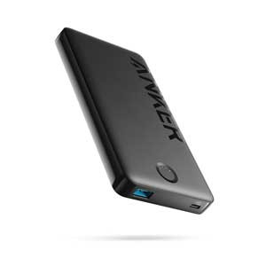
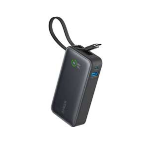
Anker 323 Power Bank
TZS 110,000 -
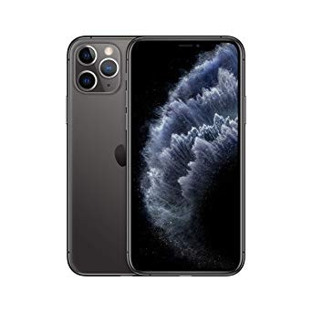
Apple iPhone 11 Pro 128GB
TZS 1,350,000 -
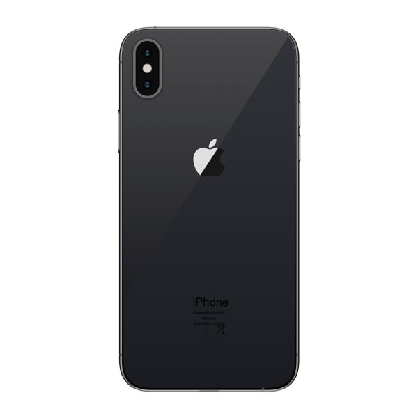
Apple iPhone X 64GB
TZS 550,000 -
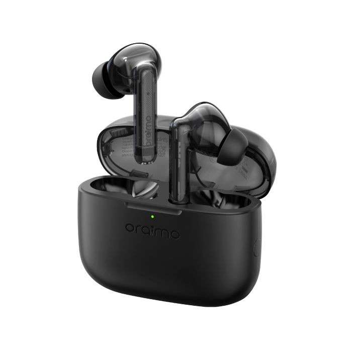
oraimo FreePods Lite
TZS 50,000 -
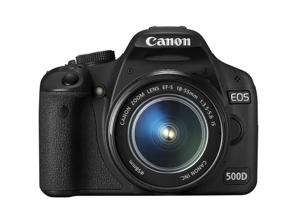
Canon EOS 500D DSLR Camera with 18-55mm Lens
TZS 750,000
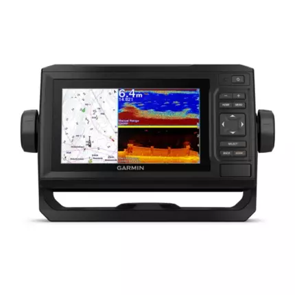
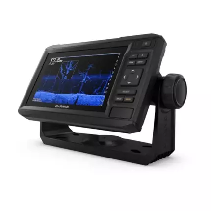
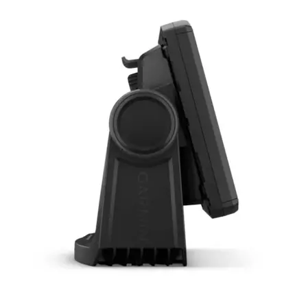
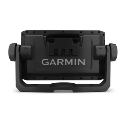
JOIN THE CLUB. FIND MORE FISH. The sunlight-readable 6” touchscreen chartplotter features a quick-release bail mount, and the transducer bundle adds Ultra High-Definition scanning sonar and CHIRP traditional sonar. See below your boat in incredible detail with optional transducer Navigate any waters with optional charts and maps Manage your marine experience from nearly anywhere Create your own maps on the fly and tailor them to fit your needs Key Features: OPTIONAL TRANSDUCER BUNDLE Select the transducer bundle to add a GT24 transducer for Ultra High-Definition ClearVü scanning sonar, which shows you a crystal-clear image below your boat. Plus, you get Garmin high wide CHIRP traditional sonar for remarkable target separation. OPTIONAL CHARTS AND MAPS Experience unparalleled coverage and detail with support for optional BlueChart ® g3 Vision coastal charts featuring integrated Garmin and Navionics ® content. QUICKDRAW CONTOURS Create personalised fishing maps on-screen with 1’ contours. Keep the data to yourself, or share it with the QuickDraw ™ Community on Garmin Connect ™ . NMEA 2000 ® AND NMEA 0183 NETWORKS Connect to autopilots, digital switching, weather, FUSION-Link ™ audio system, media, VHF, AIS and more from one screen. Specifications: General: Dimension: 21.8 x 13.0 x 6.2 cm Weight: 0.7 kg Waterproof: IPX7 Display Type: WVGA Display Display Size: 13.7 x 7.7 cm; 15.2 cm (6.2") Diagonal Display Resolution: 480 x 800 pixels Mounting Options: Bail or Flush Input: Keyed Maps & Memory: Accepts Data Cards: 1 microSD™ Card; 32 GB Maximum Size Waypoints: 5,000 Track Points: 50,000 Tracks: 50 Saved Tracks Navigation Routes: 100 Sensors: GPS Has Built-in Receiver Receiver: 5 Hz NMEA 2000® Compatible NMEA 0183 Compatible Supports WAAS Built-in Maps: Tide Tables Bluechart G3 Optional Map Suppor Bluechart G3 Vision LakeVü G3 LakeVü G3 Ultra Topo 100k Standard Mapping Garmin Quickdraw Contours Chartplotter Features: AIS DSC Supports Fusion-Link™ Compatible Radios ActiveCaptain Mobile Planning Compatible: Yes Wireless Remote Compatible Sailing Features Electrical Features: Power Input: 9 to 18 VDC Typical Current Draw at 12 VDC: 0.7 A Maximum Current Draw at 12 VDC: 1.25 A Maximum Power Usage at 10 VDC: 12W Sonar Features & Specifications: Displays Sonar Power Output: 500 W Traditional Sonar (Dual Frequency/Beam): Built-in (Single Channel CHIRP, 70/83/200 kHz, L, M, H CHIRP) ClearVü: Built-in 260/455/800/1000/1200 kHz Connections: NMEA 2000® Ports: 1 NMEA 0183 Input Ports: 1 Video Input Ports: None Video Output Ports: None Garmin Marine Network Ports: None 4-pin Transducer Ports
There have been no reviews for this product yet.
Don't miss this
Related products
TZS 89,000
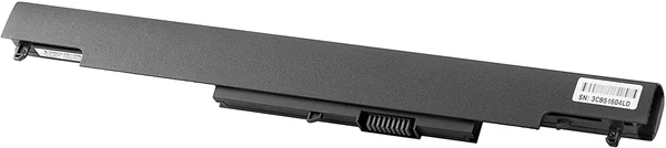
HP HS04 4-cell Notebook Battery Tanzania
TZS 99,000
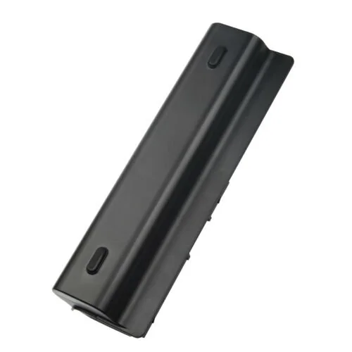
Battery for HP Probook 4530S 4535S TANZANIA


Contact Info
- Address: Mwananyamala Komakoma, Jannat Plaza, Ground Floor
- Phone: +255683239638
- Email: sales@shopflix.co.tz