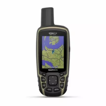
Garmin Traditional Handheld GPS GPSMAP 65 with Multi-band/Multi-GNSS, 2.6-inch Colour Display & Preloaded Maps, Cross The Countryside With Topoactive Africa Maps, Up To 16 Hours Of Battery Life In GPS
(0
reviews)
Price:
TZS 1,363,500
Share:
Don't miss this
Top Selling Products
-

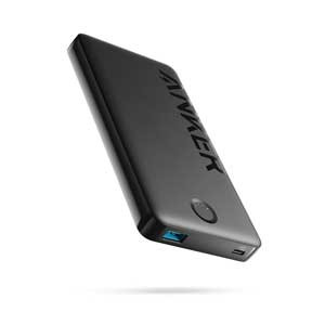
Anker 323 Power Bank
TZS 110,000 -
Apple iPhone 11 Pro 128GB
TZS 1,350,000 -
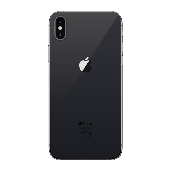
Apple iPhone X 64GB
TZS 550,000 -
oraimo FreePods Lite
TZS 50,000 -
Canon EOS 500D DSLR Camera with 18-55mm Lens
TZS 750,000

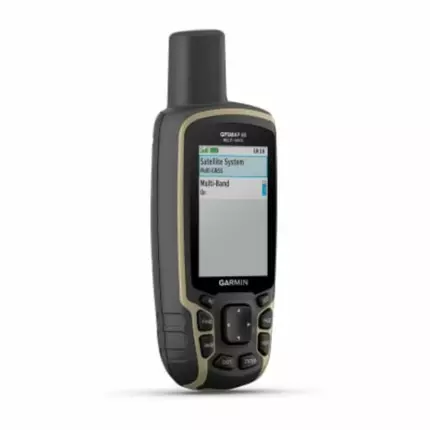
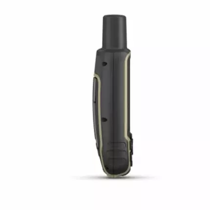
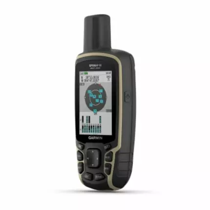
FIND YOUR WAY IN THIS BIG, WIDE WORLD Explore more with this rugged handheld that offers optimal tracking accuracy, a 2.6-inch colour display and preloaded maps. Don’t miss a detail with this large, sunlight-readable colour display. Lead the way in challenging locations with multi-band technology and expanded GNSS satellite support. Cross the countryside with TopoActive Africa maps. Venture confidently. This rugged handheld is built for tough environments. Organise your adventure from anywhere with the Garmin Explore ™ website and app 1 . Travel with up to 16 hours of battery life in GPS mode. Key Features: EXPANDED GNSS SUPPORT Multi-band technology and expanded GNSS support (GPS, GLONASS, Galileo, QZSS and IRNSS) provide optimal accuracy in steep country, urban canyons and forests with dense trees. PRELOADED TOPOACTIVE AFRICA MAPS Preloaded TopoActive Africa maps provide detailed views of street and off-road networks, waterways, natural features, land use areas, buildings and more. SMART NOTIFICATIONS Receive emails, texts and alerts right on your handheld when paired with your compatible device. GARMIN EXPLORE APP Plan, review and sync waypoints, routes and tracks by using the Garmin Explore app 1 and website. You can even review completed activities while still in the field. MICROSD ™ SLOT Using your compatible device and microSD memory card, conveniently download TOPO 24K maps and hit the trail, or access HuntView Plus maps to see public land types and boundaries as well as private landowner names and boundaries. GEOCACHING Get automatic cache updates from Geocaching Live, including descriptions, logs and hints. Specifications: General Lens Material: Chemically Strengthened Glass Dimension: 6.1 x 16.0 x 3.6 cm Weight: 217 g with batteries Waterproof: IPX7 Display Type: Transflective, 65k color TFT Display Size: 3.6 x 5.5 cm; 2.6-inch diagonal (6.6 cm) Display Resolution: 160 x 240 pixels Battery Type: 2 AA batteries (not included); NiMH or lithium recommended Battery Life: 16 hours Memory/History: 16 GB (user space varies based on included mapping) Interface: High-speed mini USB and NMEA 0183 compatible Maps & Memory Preloaded Maps: Yes (TOPOactive Africa) Ability to Add Maps: Yes Basemap: Yes Automatic Routing (Turn by Turn Routing on Roads) for Outdoor Activities: Yes Map Segments: 3,000 Satellite Imagery: 250 Birdseye imagery files Includes Detailed Hydrographic Features (Coastlines, Lake/River Shorelines, Wetlands, and Perennial and Seasonal Streams): Yes Includes Searchable Points of Interests (Parks, Campgrounds, Scenic Lookouts, and Picnic Sites): Yes Displays National, State, and Local Parks, Forests, and Wilderness Areas: Yes Storage and Power Capacity: Yes (32 GB max microSD™ card) Waypoints/Favorites/Locations: 5,000 Tracks: 200 Navigation Track Log: 10,000 points, 200 saved tracks Navigation Routes: 200, 250 points per route; 50 points auto-routing Sensors GPS: Yes GLONASS: Yes Galileo: Yes QZSS: Yes High-Sensitivity Receiver: Yes GPS Compass (while moving): Yes Multi-band Frequency: Yes Daily Smart Features Smart Notifications on Handheld: Yes VIRB® Camera Remote: Yes Compatible with Garmin Connect™ Mobile: Yes Outdoor Recreation Point-to-Point Navigation: Yes Area Calculation: Yes Fish Forecast: Yes Sun and Moon Information: Yes Geocaching-Friendly: Yes (paperless) Custom Maps Compatible: Yes (500 custom map tiles) Picture Viewer: Yes Outdoor Applications Compatible with Garmin Explore™ App: Yes Garmin Explore Website Compatible: Yes Connections Wireless Connectivity: Yes - Bluetooth®, ANT+®
There have been no reviews for this product yet.
Don't miss this
Related products
TZS 89,000
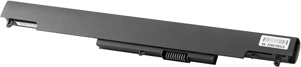
HP HS04 4-cell Notebook Battery Tanzania
TZS 99,000
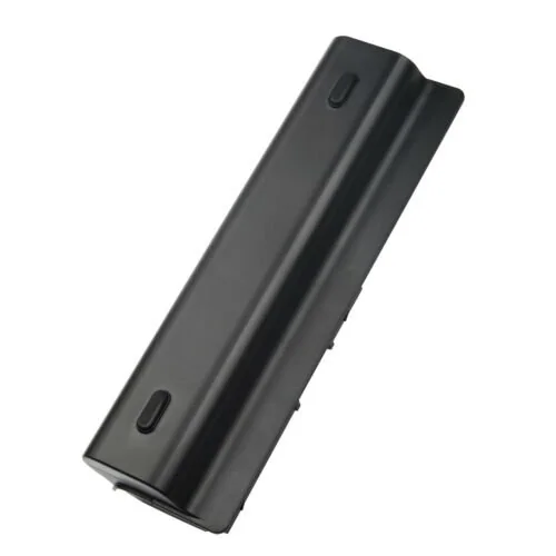
Battery for HP Probook 4530S 4535S TANZANIA


Contact Info
- Address: Mwananyamala Komakoma, Jannat Plaza, Ground Floor
- Phone: +255683239638
- Email: sales@shopflix.co.tz